


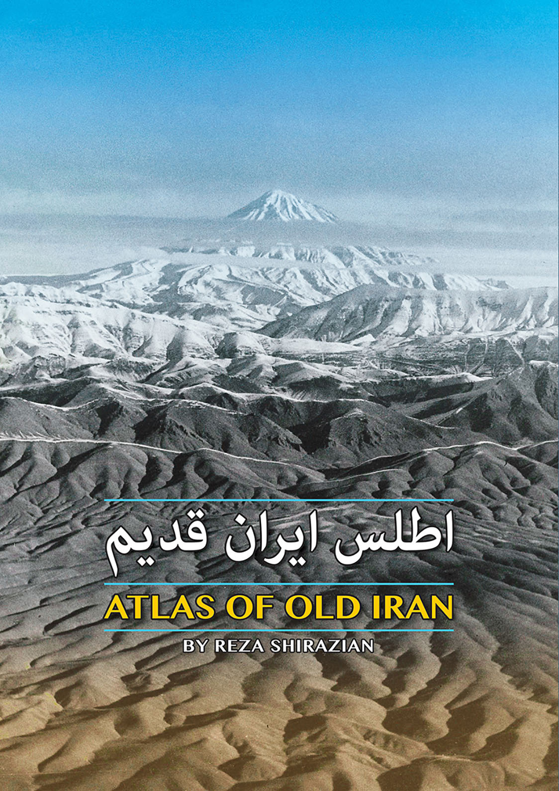
Atlas of Old Iran
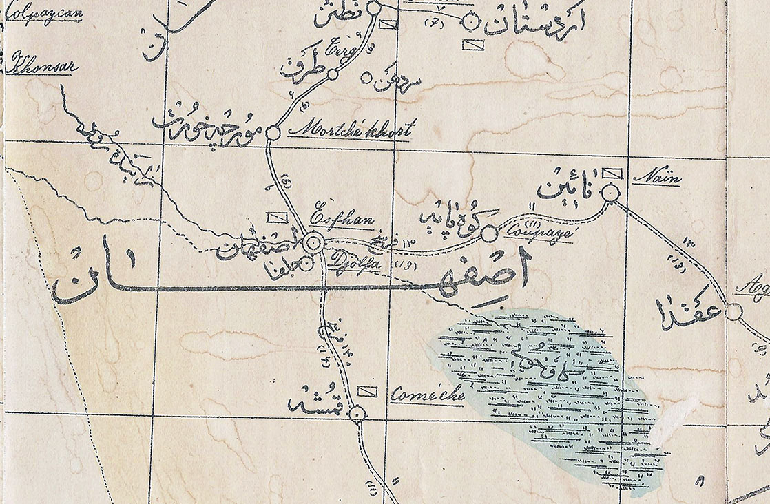
The Atlas of Old Iran contains 45 general and thematic maps of Iran, consisting of two sections, Qajar and Pahlavi, one index and one appendix. A total of 18 maps of the Qajar era and 27 maps of the Pahlavi era.
Characteristics of all maps, includes map title, producer and plotter, year and scale of the map have been extracted, and in most cases map marginal descriptions and symbols have been extracted and presented.
A total of 12 large maps of the collection have been published in full detail and the geographical titles included in them have been listed.
It is a book that is indispensable for any Iranian studies or studies of any interest in the subject of Iran, its regions and developments.


Copyright © IranNegari